
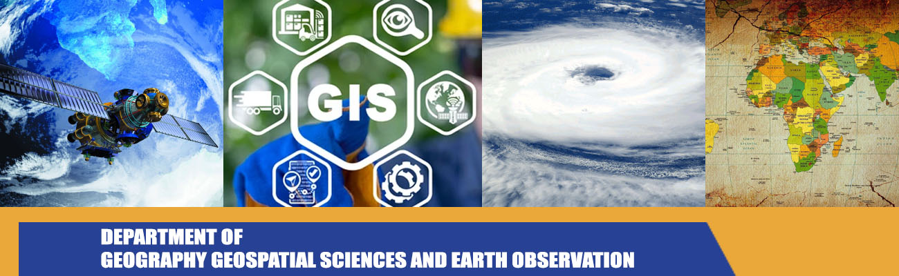
The Department of Geography Geospatial Sciences and Earth Observation at the University of Zimbabwe has unique expertise and advanced capabilities in the harnessing and utilization of Geospatial and Earth Observation Technologies for socio-economic development. A new research group – the Geospatial and Earth Observation (EO) Group has been formed to provide geospatial solutions and develop EO data products to drive Zimbabwe’s industrialization and modernization agenda. In the context of this group, EO data are normally those acquired from remote sensing platforms such as satellites and aircraft, complemented by surface and subsurface measurements and mapping.
The group exploits geospatial and EO for inventorying, mapping and management of natural resources, the environment as well physical assets and infrastructure. Natural resource endowments include forests, agricultural land, soils, water resources, mineral deposits, and land including the physical assets and infrastructure that it supports. Environmental issues the group is responding to include biodiversity loss, land degradation, industrial pollution and natural hazards such as floods and drought. The focus, which can be either conceptual or data driven, includes all major themes in geo-computation and geospatial analysis georeferencing, geodatabases, Geovisualization and interpretation of geospatial data in view of inherent errors and spatial uncertainty.
Through a programmatic approach, the group aims to deliver innovative geospatial and EO solutions in the form of new geoinformation products, mapping algorithms, spatial models, and customized geodatabases such as digital and interactive resource atlases to promote sustainable utilization of the country’s wealth. The Research group’s work contributes towards the attainment of the Government of Zimbabwe’s Vision 2030, which is to become an upper middle income economy by year 2030 motivated by heritage-based philosophy of development. This is in line with the Sustainable Development Goals (SDG). Specifically, the group is responding to SDG 15 which is to “Protect, restore and promote sustainable use of terrestrial ecosystems, sustainably manage forests, combat desertification, and halt and reverse land degradation and halt biodiversity loss”.
The Department hosts the following Undergraduate and PostGraduate Programmes:
- BSc Honours Geographical Information Science and Earth Observation
- BSc Honours Geospatial Intelligence
- BSc Honours Geography and Landscape Ecology
- MSc Applied Geographical Information Science and earth Observation
- MSc Geospatial Intelligence
- MPhil
- Dphil
Our Research Activities
-
Space Science & Earth Sciences
-
Applied Meteorology & Climate Applications
-
Agriculture
-
Assets and Infrastructure
-
Health
-
Mineral Prospecting
-
Wildlife and Forestry
Chairperson
Dr Isaiah Gwitira
This email address is being protected from spambots. You need JavaScript enabled to view it.
Contact Details
Department of Geography Geospatial Sciences and Earth Observation
University of Zimbabwe
P.O. Box MP167
630 Churchill Avenue
Mount Pleasant, Harare, Zimbabwe
Phone: +263 242 307130 Extension 15000 / 15001
email: This email address is being protected from spambots. You need JavaScript enabled to view it.